
Miramar ZIP Directory Coverage
Four ZIP codes appear at official Miramar polling locations. The city's 2025 election packet provides unusually strong evidence because it places named public sites, street addresses, precincts, major roads, and the municipal boundary on one city-issued map. Together, those sites trace Miramar from the older east side to the far-west communities. They do not turn postal zones into city districts. A ZIP code may extend beyond the city line, and an address with one of these codes still needs a parcel check.
| ZIP Code | Areas Covered | Post Office | Notes |
|---|---|---|---|
| 33023 | Historic and eastern Miramar, including older east and central blocks | Station name not identified in the official sources reviewed | Shared postal territory; city polling addresses include Miramar Parkway and SW 26th Street |
| 33025 | Central Miramar, Civic Center, and the University-to-central-west corridor | Station name not identified in the official sources reviewed | Used by City Hall and Miramar Branch Library; also reaches beyond the strict city line |
| 33027 | Central-west and western Miramar near Monarch Lakes and SW 148th to 164th avenues | Station name not identified in the official sources reviewed | Shared with Pembroke Pines postal geography |
| 33029 | Far-west Miramar around Sunset Lakes and SW 173rd to 186th avenues | Station name not identified in the official sources reviewed | Also shared with Pembroke Pines; verify municipal jurisdiction |
No official source reviewed identified a Miramar-only unique ZIP or a PO-box-only code. That absence matters. Do not label one without current USPS proof. Use the USPS ZIP Code lookup to verify postal delivery, and use city GIS for jurisdiction. The ZIP code directory is strongest when both answers agree.
Miramar Records Across Four ZIPs
Postal slices also reflect Miramar's growth. Historic Miramar in 33023 contains much of the older development near the city's original footprint. The civic core falls in 33025. Codes 33027 and 33029 cover newer central-west and far-west areas where plats, association filings, permits, and recent digital deeds are often more useful than older directory volumes.
The city began with 56 homes on a former dairy farm and incorporated in 1955 with fewer than 200 residents. Its original limits ran from SW 64th Avenue to University Drive, between the Miami-Dade line and Pembroke Road. Modern Miramar reaches toward U.S. 27. A present ZIP should not be projected backward onto an old deed. For older land research, keep the subdivision name and Broward legal description, even when the document does not say Miramar.
Miramar's official reporting districts, Historic Miramar, Central East, Central West, and West Miramar, are better civic geography than loose commercial neighborhood labels. They can help explain where a parcel sits without claiming that a postal code and a district share the same border.
Proving a Miramar ZIP Address
Use two separate checks because USPS and the city answer different questions. USPS standardizes a delivery address and assigns the postal code. The Miramar Comprehensive Map shows address points, parcel ownership, neighborhoods, zoning, flood areas, future land use, and developments inside the city's mapping system. Broward's property roll supplies the folio and situs address for the taxed parcel.
- Enter the full street address in the USPS tool. Preserve the standardized directional, street type, unit, and ZIP+4 if returned.
- Find the same address in the city map. Check that its parcel polygon lies within Miramar rather than relying on the postal city alone.
- Open the parcel in the Broward County Property Appraiser search. Record the situs address, folio, owner, and legal description.
- Use the verified ZIP only as a filter in a portal that truly supports it. Confirm each result against its source record.
A right-of-way address point or map label is not proof that a residence exists there. Miramar's 2025 GIS update split out right-of-way points, which can explain duplicate-looking or non-building results.
Miramar Lookups That Accept ZIP
Not every official search has a postal filter. Florida's Sunbiz index can search entities by ZIP or street address. The FDLE registry accepts a ZIP without a person's name and returns entries within its statutory scope. Broward voter information can support ZIP analysis through a permitted data request, but the personal voter lookup is not a browse-all-residents tool. BCPA works best with an address, owner, or folio instead of a broad ZIP sweep.
| Official source | ZIP-capable input | What the result means | Main limit |
|---|---|---|---|
| Sunbiz | ZIP or street address | Public business entities, agents, officers, and filing addresses | An agent or filing address does not prove residence |
| FDLE registry | ZIP, city, county, name, and status options | People within the registry's legal scope | It is not a general resident roll |
| Broward voter file | Requested geography or report parameters | Registered voters and public administrative fields | Protected people and nonvoters are absent |
| BCPA | Address, owner, or folio | Parcel owner, situs, mailing address, and sales clues | No dependable citywide ZIP directory mode documented |
These sources answer different questions. Matching ZIPs can narrow a list, but names, filing dates, and street addresses must still be compared.
Find Miramar Residents by ZIP
A ZIP code directory narrows geography; it does not identify every person at an address. Start with the type of public evidence needed. Property data identifies owners. Voter data identifies registrants. Business filings identify named roles and filing addresses. Each claim should keep its own label.
- Verify the complete delivery address through USPS, then confirm Miramar jurisdiction in city GIS.
- Use BCPA one parcel at a time to identify owners and distinguish the situs address from the tax-mail destination.
- For block or ZIP analysis, request the allowed Broward registered-voter file and state the desired geography. Each database search costs $20.
- Use an official ZIP filter in Sunbiz or FDLE only when those record types fit the question, then check the result date and address.
The voter file may include name, residence address, date of birth, party affiliation, status, precinct, participation history, and phone or email when supplied. It never reveals ballot choices, and protected entries are withheld. Once one postal area is narrowed to a named road, the Miramar street directory explains the address-by-address chain.
Miramar ZIP Voter File Access
The Broward Supervisor of Elections offers a personal verification route and a separate Registered Voter List Data Request. The bulk route is the one suited to postal or block analysis. A requester states the desired geography or parameters and selects delivery. Files larger than 10 MB arrive through Dropbox; a USB adds $6. Questions go to publicrecords@browardvotes.gov or Rupert Simpson at 954-712-1969.
The office is at 4650 NW 21st Avenue in Fort Lauderdale and serves visitors weekdays from 9 a.m. to 5 p.m. Miramar also has a permanent elections branch at the Miramar Branch Library, 2050 Civic Center Place. That branch gives residents a local point of contact when a web form or record description is unclear.
Read a voter extract as dated registration evidence, not a live household list. Recent moves, inactive records, nonregistration, and confidentiality exemptions all produce gaps. Vote-by-mail request data has stricter recipient rules and is not interchangeable with the ordinary voter file.
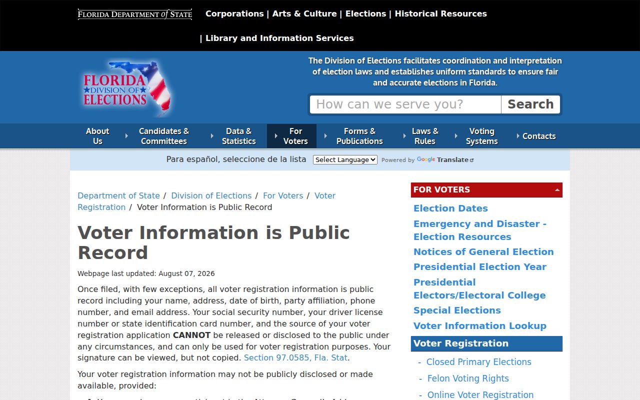
To see the state's explanation of public and confidential fields, use the Florida voter-information notice. The captured page illustrates the state rules behind a ZIP-filtered request.
Miramar Address Terms by ZIP
Several address fields can look alike while serving different jobs. The ZIP belongs to mail delivery. The situs points to the taxed site. The mailing address receives the tax notice. The legal description identifies land through a plat, lot, block, or other survey language. Keep all four when following a parcel across systems.
- ZIP code
- A USPS delivery area. It is not a municipal boundary.
- ZIP+4
- The basic five digits plus a four-digit delivery segment that can narrow a block, building, or group of addresses.
- PO-box ZIP
- A postal code used for boxes rather than ordinary street delivery. None was verified as Miramar-only in the research.
- Unique ZIP
- A code assigned to one high-volume organization or site. No Miramar example was confirmed.
- Carrier route
- A postal delivery path within a ZIP, not a city district or parcel boundary.
- Folio
- Broward's parcel identifier, used to carry one property between the appraiser, maps, and some recorded documents.
When two databases disagree, the field label often explains why. A distant mailing address may belong to an owner who receives tax notices elsewhere, while the Miramar situs remains unchanged.
Miramar ZIPs Versus City Limits
A Miramar postal label does not settle whether an address lies inside the municipality. The clearest local examples are 33027 and 33029, which cross into Pembroke Pines postal geography. Codes 33023 and 33025 also cover territory that does not perfectly match Miramar's corporate polygon. This is normal: USPS designs delivery areas, while a city establishes legal boundaries.
The distinction changes where a record lives. Miramar City Clerk and Building Division records apply to properties under Miramar jurisdiction. Broward's appraiser, recorder, elections office, and court systems cover the county regardless of municipal line. If city GIS places a parcel outside Miramar, use the correct municipality for permits and local code records even when the mailing label says Miramar.
Boundary check. A ZIP match narrows the search, but only the parcel map and responsible custodian can establish jurisdiction.
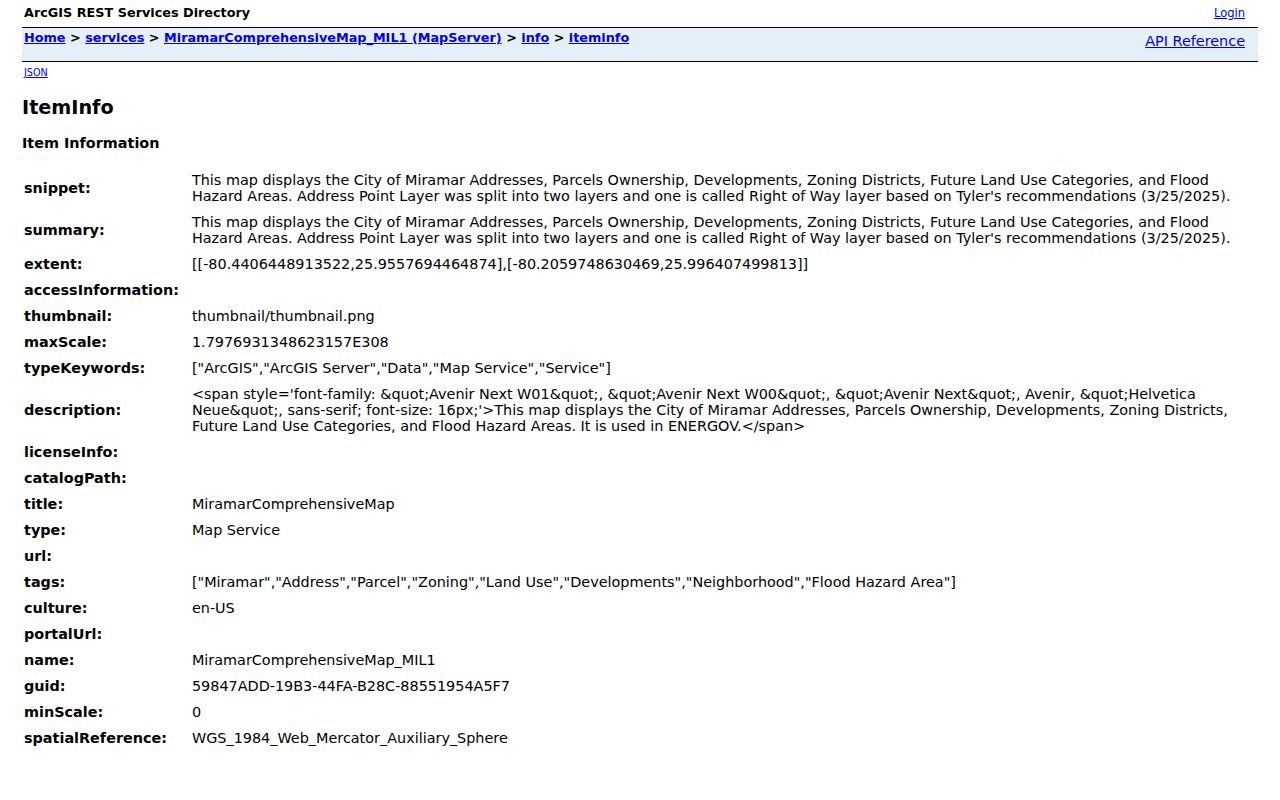
The Miramar GIS metadata documents current address, parcel, neighborhood, historic-parcel, zoning, flood, land-use, and development layers.
Use the ZIP code directory as the first geographic cut, then retain the folio and legal description for any deed, permit, or historical work. That approach survives postal-city quirks and Miramar's expansion from its small 1955 footprint.