
Records Behind Miramar Neighbors
Public sources describe different parts of a Miramar block. The city map supplies parcel shapes and official neighborhood or development layers. Broward's property roll identifies the titled owner of each lot. A requested voter file can show registered voters tied to nearby addresses, subject to legal exemptions. Recorded deeds establish transfers for chosen parcels. None of these sources is a complete list of every person who lives nearby.
| Source | What It Shows About a Block | Access |
|---|---|---|
| Miramar Comprehensive Map | Parcel layout, neighborhood, historic parcel, zoning, flood, and development context | Free map and REST layers |
| BCPA property roll | Current parcel owner, situs and mailing addresses, folio, exemptions, and sales | Free, one parcel at a time |
| Broward voter file | Registered voters by address or geography, with protected records omitted | $20 database search request |
| Broward Official Records | Deeds, liens, declarations, and other filings for selected owners | Online from the published cutoffs; older office media |
| Sunbiz and public association pages | Association entity, registered agent, officers, and public contact routes | Free public filings; voluntary public contacts |
Ownership and occupancy must stay separate. A tax-mail address can belong to a trustee, corporation, seasonal owner, or office. A homestead exemption is useful evidence that the owner claims the parcel as a permanent home, but it does not list the household. Renters and family members may never appear on the property roll. A precise Miramar neighbors search labels each person as owner, registrant, officer, or other public role instead of turning all names into residents.
Four Miramar Neighbor Districts
Miramar publishes four reporting districts: Historic Miramar, Central East Miramar, Central West Miramar, and West Miramar. Those names are more defensible than crowd-sourced neighborhood labels. The city's GIS adds separate Neighborhoods and Developments layers, so one address can be placed in a civic district, a mapped neighborhood, and a recorded subdivision without assuming all three boundaries match.
The east-west differences also guide research. Historic Miramar grew from the city's first 56 homes and tends to reward older deeds, the 1950 census, regional directories, and long parcel chains. Newer western developments are more likely to produce useful plats, permits, aerials, current association entities, and post-1977 digital deeds. Across-the-street parcels may also sit in different precincts or postal areas near a line.
Miramar's original 1955 limits ran from SW 64th Avenue to University Drive, with Pembroke Road on the north and the Miami-Dade line on the south. The modern city reaches far west. For a block added later, an old record may use only the subdivision and Broward legal description. That is expected, not proof that the address changed.
Nine Layers Around Miramar Neighbors
The Miramar Comprehensive Map exposes nine useful layers in a documented order: address points, parcel ownership, right-of-way address points, neighborhoods, historic parcels, zoning districts, flood hazards, future land use, and developments. Toggle only the layers needed for the question. Too many at once can hide the parcel boundaries that matter most.
A March 2025 update split right-of-way addresses into their own layer. That detail can explain a point placed in a road or a duplicate-looking label. It should not be read as another residence. The historic-parcels layer is also valuable where a present lot shape differs from an earlier parcel, though current ownership still needs confirmation through BCPA.
Use the map to identify nearby polygons, not as certified title evidence. Its value lies in spatial context: which lots touch, which sit across the road, and how a development or district boundary crosses the block.
No successful page-matched GIS capture appears in the manifest, so the parcel workflow stays text-based and uses the live official map.
Map a Miramar Neighbors Block
Begin with one complete address and move only to parcels that are visually adjacent. This keeps the neighbor lookup focused on the immediate block. Preserve directionals, street type, and unit details before opening the map, since South Florida's numbered grid can produce close matches.
- Find the subject address in the Miramar Comprehensive Map. Select its parcel polygon, not a right-of-way point.
- Click the lots beside it, behind it, and across the road. Note each folio, subdivision, and owner attribute that the live viewer supplies.
- Open every folio in the BCPA Property Search. Compare situs and mailing addresses, exemption, sales, and deed reference.
- Label the result as an owner record. Treat matching mailing and situs addresses or homestead as clues, not a roster of occupants.
Repeat the process only as far as the relevant block. For a whole named road, use the Miramar street directory, which owns the longer street-by-street record chain. Here the aim is the immediate radius and its public community context.
Miramar Neighbors in Voter Data
Broward's personal Voter Information Lookup verifies one registration; it is not a street browser. Block analysis requires a Registered Voter List Data Request. The form asks for requester contact details, desired report geography or parameters, delivery choice, and payment acknowledgement. Each voter-list database search costs $20. Files over 10 MB are delivered through Dropbox, and an optional USB costs $6.
Florida voter information can include name, residence address, date of birth, party affiliation, registration status, precinct or district fields, participation history, and phone or email when supplied. It never reveals ballot choices. Social Security numbers, driver-license or state-ID numbers, and registration-source data remain confidential. Address Confidentiality Program participants and eligible exempt people can have identifying or location data withheld.
That makes the file a roll of registrants, not all Miramar neighbors. It leaves out nonvoters, some recent movers, and protected people. Read the file date before relying on an address. Broward's Miramar Branch Library at 2050 Civic Center Place also serves as a permanent elections branch on weekdays, giving local residents an official help point.
Insider tip. Describe the exact block or postal filter when ordering data, then confirm any important name against a second dated record.
Miramar Neighborhood Group Records
Miramar did not publish one complete HOA or neighborhood-association directory in the official sources reviewed. The reliable fallback begins with the GIS Neighborhoods and Developments layers. Once a formal development name is known, search Florida Sunbiz for the incorporated association. An entity detail may show its status, principal or mailing address, registered agent, officers or managers, filing dates, annual reports, and document images.
| Community source | Public clue | How to reach it | What it does not prove |
|---|---|---|---|
| Miramar Neighborhoods layer | City-mapped neighborhood polygon | Miramar Comprehensive Map | Membership or every household |
| Miramar Developments layer | Development name and mapped setting | City GIS | Current association status |
| Sunbiz association filing | Entity, agent, officers, addresses, annual reports | Search by entity, person, street, or ZIP | That an officer lives in the development |
| Association public page | Voluntarily published officers or contact channel | Use only the group's own public page | A complete member roster |
| City Clerk records | Named organization in a specific city record | Public-record request by subject and date | Private gate or social-group data |
A registered agent is a legal service contact, not necessarily a resident or association owner. Member lists, gate logs, and private social groups should remain private unless the organization itself lawfully publishes them.
Official Miramar Neighbor Sources
Compiled commercial neighbor tools often merge names from old addresses, purchased data, and public records. Official rolls are narrower, but their fields, dates, and custodians are visible. For property curiosity, civic research, reconnecting, or personal safety, that narrower evidence is easier to verify.
| Feature | Official public records | Commercial compiled tools |
|---|---|---|
| Source | Named government custodian or public filing | Mixed public and purchased data |
| Claim | Specific role such as owner, voter, or officer | May imply a household or association |
| Date | Assessment, filing, registration, or record date is usually visible | Update timing may be unclear |
| Correction | Ask the office that maintains the original record | Use the provider's separate correction or opt-out process |
| Verification | Compare with another independent official source | Never treat a compiled match as final |
A parcel owner, registered voter, and actual occupant are three different claims. Keeping those labels intact prevents a public record from saying more than it proves.
Official Safety Records Near Miramar
Public-safety indexes have narrow statutory scopes. They should be searched for a specific safety question, never treated as a roster of Miramar neighbors. A result can describe an arrest, a county booking, a state correctional record, or a person required to register. Those categories are not interchangeable, and an arrest does not establish a conviction.
The Broward Sheriff's Office Arrest Search is the official county route for recent booking and custody information.
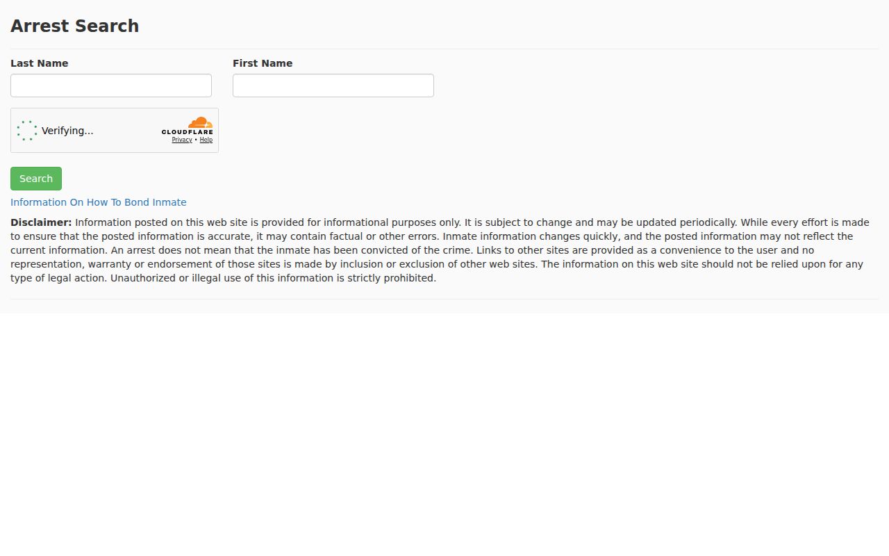
Read the booking date, charge, bond, and current custody status carefully, then verify the disposition with the court because arrest data changes.
The Florida Department of Corrections search covers people sentenced to or supervised by the state system.
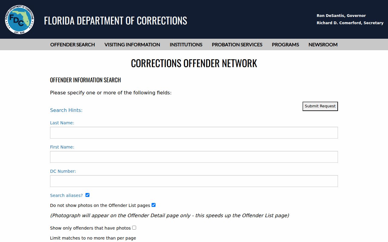
Its aliases, sentence details, supervision status, and release information do not describe every county detainee or every person on a block.
For the separate statutory registry, use the FDLE Sexual Offender and Predator Search, which accepts name, city, county, and ZIP criteria.
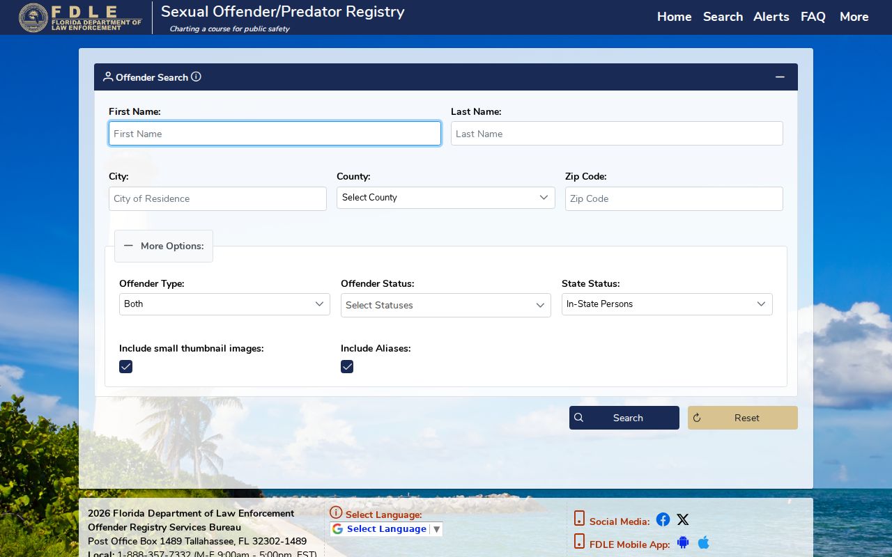
The registry explains its own categories and address sources. It lists only people within the governing law, not everyone who lives nearby.
Protect Miramar Neighbors From Scams
Public names, deeds, court facts, and family links can be misused in convincing scams. An accurate public detail does not make an unexpected demand legitimate. Call the agency, relative, or organization through a number found independently, and never rely on caller ID or a payment link sent by the person making the demand.
Florida residents can review state complaint routes through the Florida Attorney General consumer-protection portal.
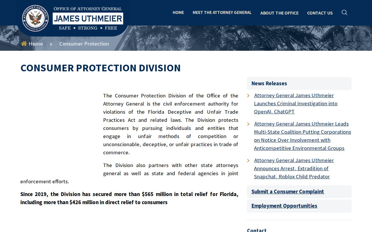
The state resource helps identify the suitable complaint channel without turning a directory match into an accusation.
Suspected national fraud can be reported through the Federal Trade Commission's ReportFraud service.
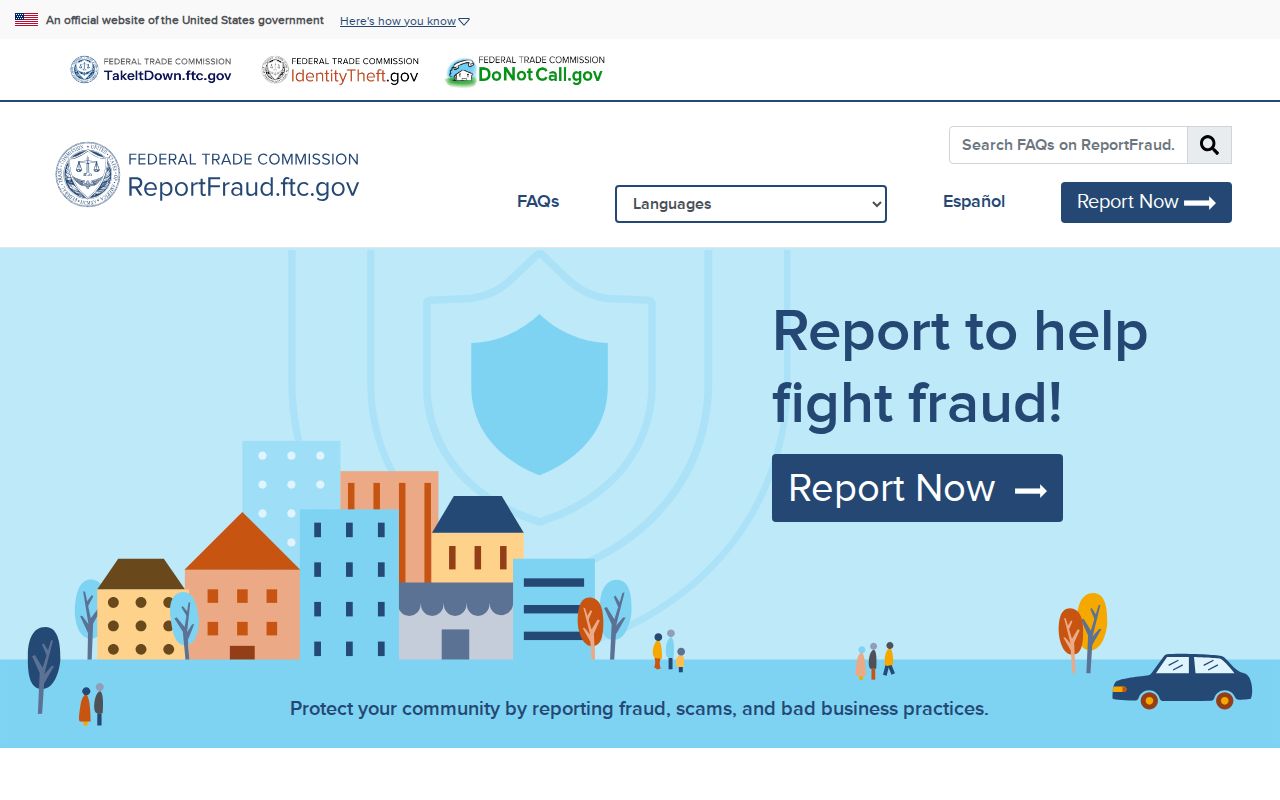
Save messages, payment instructions, dates, and contact details before submitting a report.
If personal information has already been used, the FTC's IdentityTheft.gov service provides a recovery-plan route.
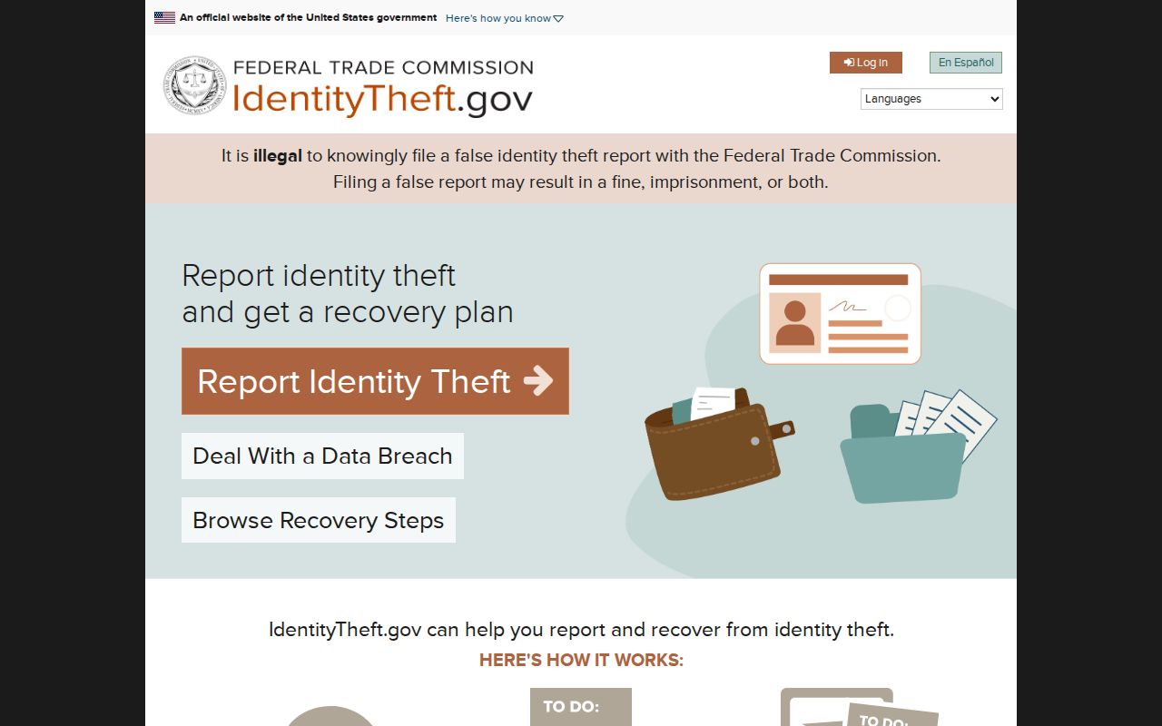
That process addresses identity misuse. It does not authorize publication of another person's address or private data.
Privacy for Miramar Neighbors
Some gaps are intentional. Utility accounts, delivery records, school-student data, and DMV addresses are not public household directories. Florida's Address Confidentiality Program protects eligible victims of domestic violence and stalking. Other exemptions under section 119.071 can shield qualifying officials or protected people. Voter files suppress protected location data, and sealed or restricted court material stays unavailable.
Property records omit renters and most household members. Voter records omit nonregistrants and can lag after a move. An HOA filing identifies public organizational roles, not who passes through a gate. Do not try to fill these gaps through pretext, repeated contact, or surveillance.
Lawful use. Miramar neighbor records support civic curiosity, reconnecting, and personal safety. Never use them to watch, threaten, harass, or harm a person.
Florida law addresses stalking and cyberstalking in section 784.048. Public availability does not grant permission to intimidate someone or publish protected data. When a record seems wrong, correct it with the source custodian first. A map or compiled listing should not override the official record.
For a narrowly defined public-safety question, use the official county or state index that matches the record type. Each source explains its own scope and limits.